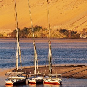
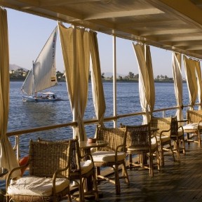
Sailing on the Nile
The Nile River really was at the core of Egypt’s existence. Its yearly period of flooding deposited rich, fertile silt that renewed the farmers’ productive fields. Its water provided a highway north and south, lots of fish to eat, water for irrigation and plenty of mud to make bricks. Off to the edges was the Red Land, the land of desert and arid mountains – lots of sand and stone, a number of gold mines and the occasional oasis.
Placid and serene, or foaming and formidable, the Nile was the ancient Egyptians’ lifeline superhighway for everything: food, transportation, communication, irrigation, and state control. As powerful as the river appears to us today, it is but a thin trickle compared to some of its ancient ancestors. The Nile we know dates to about 12,000 years ago. Flowing from south to north through almost 4,200 miles (6,760 km) and nearly a dozen countries, the world’s longest river was the magnet that drew migrating proto-Egyptians to its banks, as the surrounding climate changed from moist to arid. Six cataracts (rapids) rendered navigation treacherous from Egypt’s southern border south into ancient Nubia.
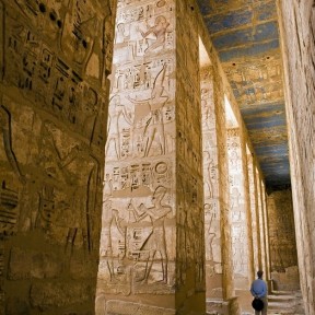
You will be sailing through the Nile in the Upper Egypt part witnessing all the grand creations ordered by the rulers of Egypt.

.png)


-1616400044.jpg)
